3D Laser Scanning Services
for Industrial Application

3D Laser Scanning
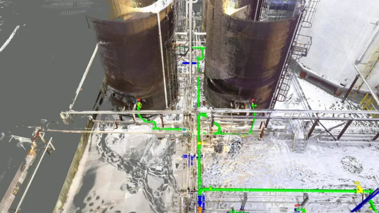
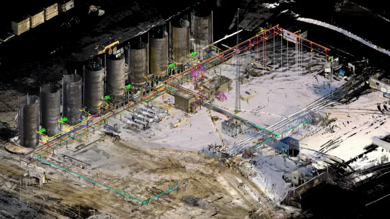
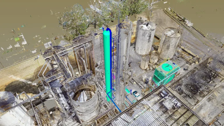
3D Laser Scanning is a geospatial technology that uses LIDAR (light detection and ranging) to measure the geometry and location of physical locations. Each laser scan emits millions of measurement points, and collectively these points create a ‘point cloud’ of raw geospatial coordinates. The result is a highly accurate digitized replica, or Digital Twin of your facility, building, or site. The precise detail of these points means that you can accurately measure the dimensions and location of physical objects and structures efficiently and accurately, enabling the support of a wide range of design, engineering, and operational applications.

Our Expertise
ONSITE3D is internationally recognized for our expertise in 3D laser scanning across diverse sectors in Canada and the U.S. From our Calgary-based Data Lab, we process scan data with speed and precision to deliver engineering-grade results.
What Sets Us Apart
- Skilled Technicians: Experts in terrestrial LIDAR, robotic total stations, and photogrammetry.
- Extensive Fleet: One of the largest terrestrial scanner fleets in North America.
- Precision: Consistent scan accuracy between 1mm and 3mm.
- Rapid Turnaround: Efficient multi-team deployments for large and complex sites.
- Data Security: All data processed and delivered through secure, protocol-compliant systems.
Our Process
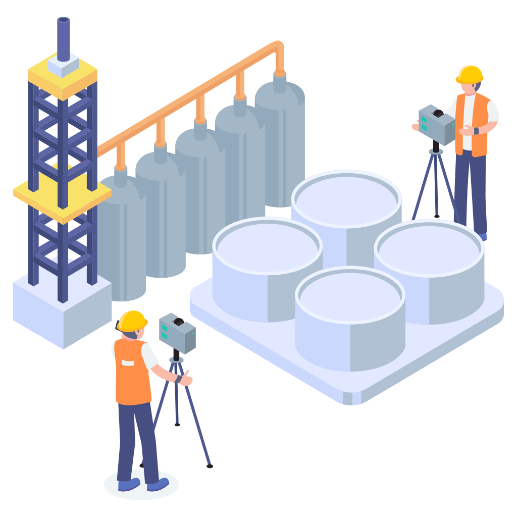
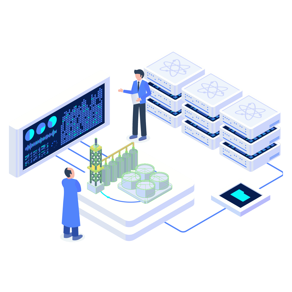

A team of technicians captures your asset with 3D laser scanners
The scans are processed
into detailed 3D models
and drawings
You access your dimensionally accurate point cloud via web portal
COMPETENCIES
- Long-Range Laser Scanning
- Short-Range Laser Scanning
- Photogrammetry
- Robotic Total Stations
- Rapid Data Processing
- Data Management
- Web Portal Access to Point Cloud
Personnel
- 3D Laser Scanning Technicians
- Survey Project Managers
- Data Processing Technicians
Technologies
- Robotic Total Stations
- RTK (GPS) Rover and Base
- 3D Laser Scanners
(Long Range + Short Range) - Mobile 3D Scanning Units
- Survey / Scanning Trucks
Applications
- Oil and Gas Facilities
- Pulp and Paper Mills
- Chemical Plants
- Food Production Plants
- Storage Facilities
- Power Plants
- Mining Facilities
- Heritage Sites
- Civil Infrastructure
- Public Facilities
- Wastewater Facilities
- Electrical Facilities
- Commercial Buildings
- Sports Complexes
Advanced 3D Laser Scanning for Precision Projects
Avoid costly surprises and delays with Onsite3D’s precise 3D laser scanning solutions. Whether you need as-built scans in Baton Rouge or virtual walkthroughs in Kamloops, our technology ensures accurate, comprehensive data for informed decision-making. Our mobile scanning in Calgary and SLAM scanning in Sudbury enable us to reach even the most challenging locations quickly, providing data you can trust.