Comprehensive Geomatics
and Surveying Solutions

GEOMATICS
ONSITE3D currently has the largest fleet of terrestrial scanners in Canada. Geomatics teams mobilize from Calgary or Grande Prairie and can be deployed to any destination in North America. We have a highly skilled team of professional digital capture specialists ready to tackle any sized job.
We offer a broad range of geomatics services in Alberta and beyond including 3D Laser Scanning, Line Locating, Dimensional Control, Aerial Imaging and Photogrammetry. In addition, we offer construction survey and dimensional control, utilizing technology from robotic total stations and lidar survey.

COMPETENCIES
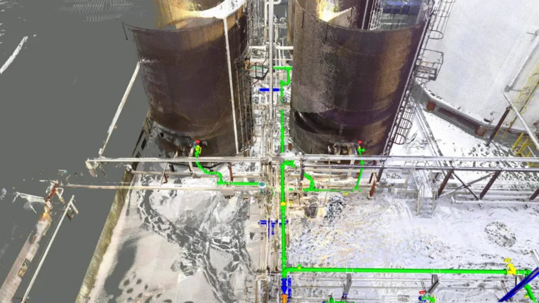
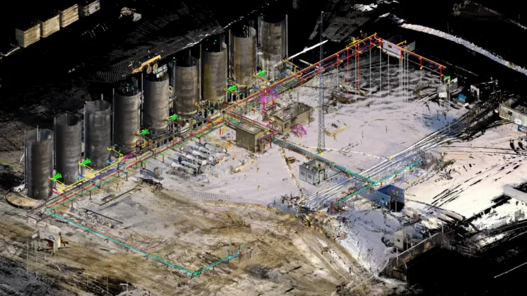
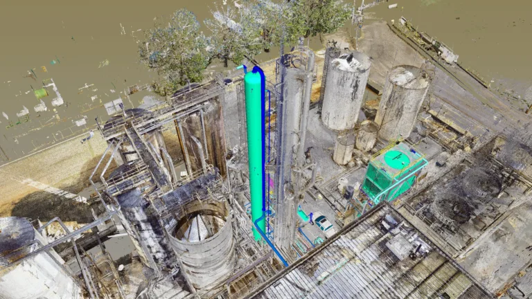
• 3D Laser Scanning
• Line Locating
• As-Builts
• Dimensional Control
• Construction Survey
• Aerial Imaging (UAV)
• Pile & Equipment Layout
• Virtual Site Walkdowns
• Photogrammetry
Personnel
• Geomatics Engineers
• Survey Project Managers
• Legal Land Surveyors
• Survey Party Chiefs
• Survey Assistants
• Survey Drafters
• 3D Laser Scanning Technicians
• Data Processing Technicians
Resources
• Robotic Total Stations
• RTK (GPS) Rover and Base
• 3D Laser Scanners
(Long Range + Short Range)
• ATV / UTV / Snowmobiles
• Mobile 3D Scanning Units
• Survey / Scanning Trucks
• Mixed Reality Headsets