Civil Infrastructure
and Site Surveying Services

civil & infrastructure
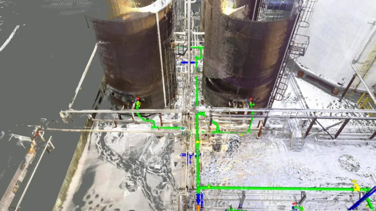
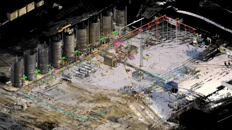
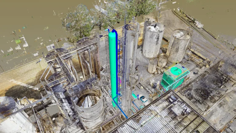
Civil and infrastructure projects keep the world connected and moving. Integrating rapid geospatial data collection and processing from ONSITE3D will enable you to understand existing conditions, develop strategic operations plans, optimize complex staging processes, visualize traffic / pedestrian flows, and perform engineering analysis.
Feel true confidence in the success of your next project. Choose ONSITE3D and benefit from advanced VDC workflows, Integrated Project Delivery (IPD), digital technology solutions, and experienced technical and construction groups.

SERVICES
- 3D Laser Scanning
- Digital Twin
- Aerial Mapping
- 5D BIM Simulation
- Geomatics
- Project Management
- Data Processing
- Data Management
PROJECT TYPES
- Bridge Construction
- Construction Survey
- Road Construction
- Municipal Infrastructure
- Medical Buildings
- Education Buildings
- Campus Sites
- Park Facilities
- Recreation Facilities
- Public Facilities
- Mechanical Facilities
TECHNOLOGY
- Aerial Mapping
- UAV Orthomosaic
- Robotic Total Stations
- LIDAR
- Digital Twin
- 5D BIM Simulation & Animation
Civil Infrastructure Built with Precision & Care
Build smarter, safer, and stronger with Onsite3D’s civil engineering solutions. Our expertise covers civil infrastructure construction in Grande Prairie, precise site surveying in Houston, and comprehensive civil engineering solutions in Calgary. From initial planning to final execution, we prioritize accuracy, safety, and durability, ensuring your infrastructure projects stand the test of time.